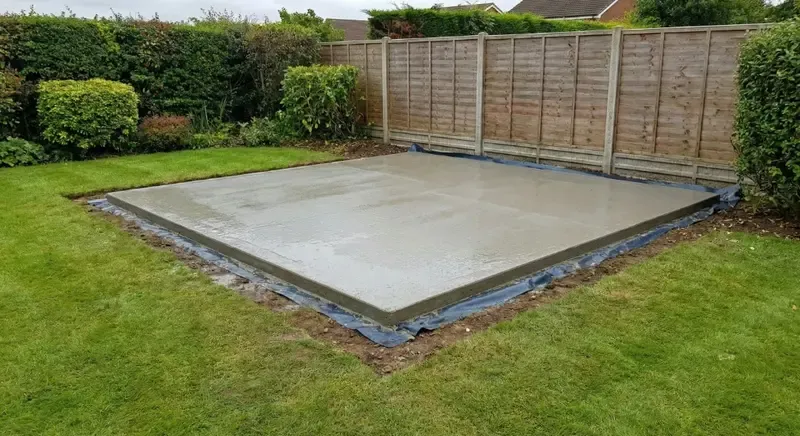
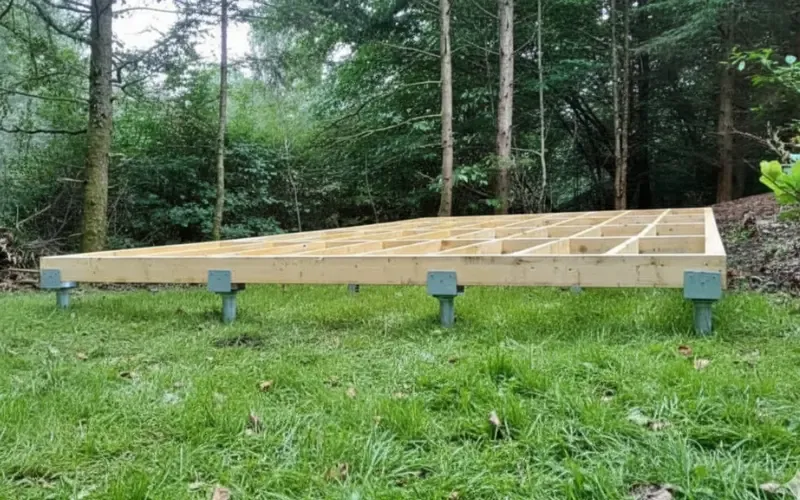
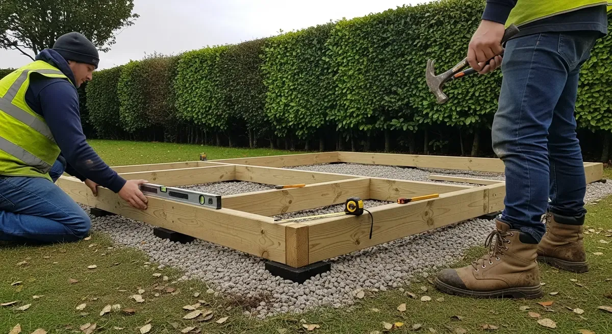
British Geological Survey mapping for the Bournemouth district records London Clay and related sand units around Wimborne, while river alluvium and terrace deposits follow the Stour and Allen. Corfe Mullen, Colehill and central riverside plots should not be treated as a single ground type.
At garden level, old walls, filled ground, drainage and mature trees can matter too. We use the mapped context to ask sensible questions, not to diagnose a property from its postcode.
Start with the project. If further information is genuinely needed, it will be explained after that first discussion rather than made a condition of enquiry.