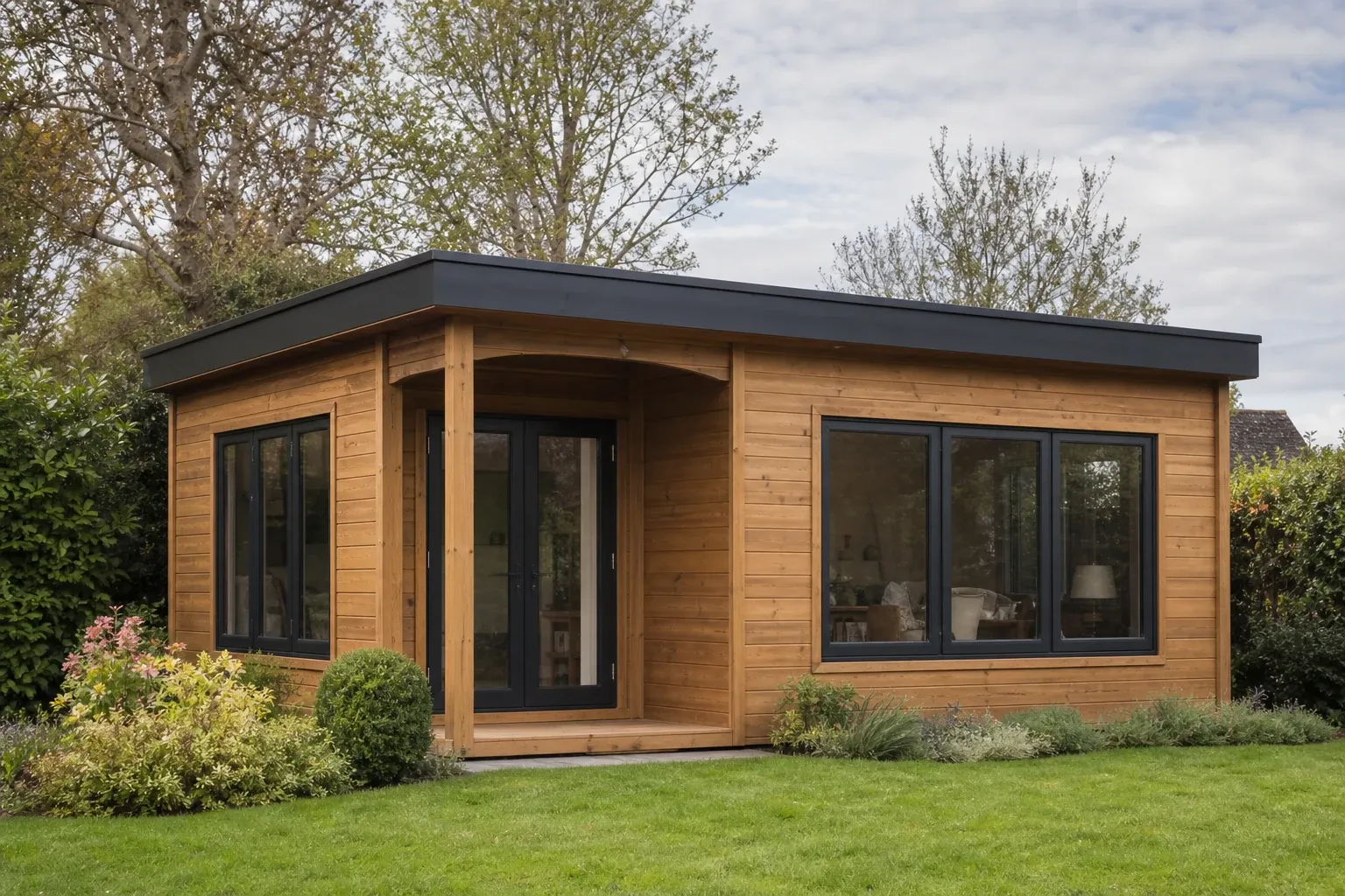
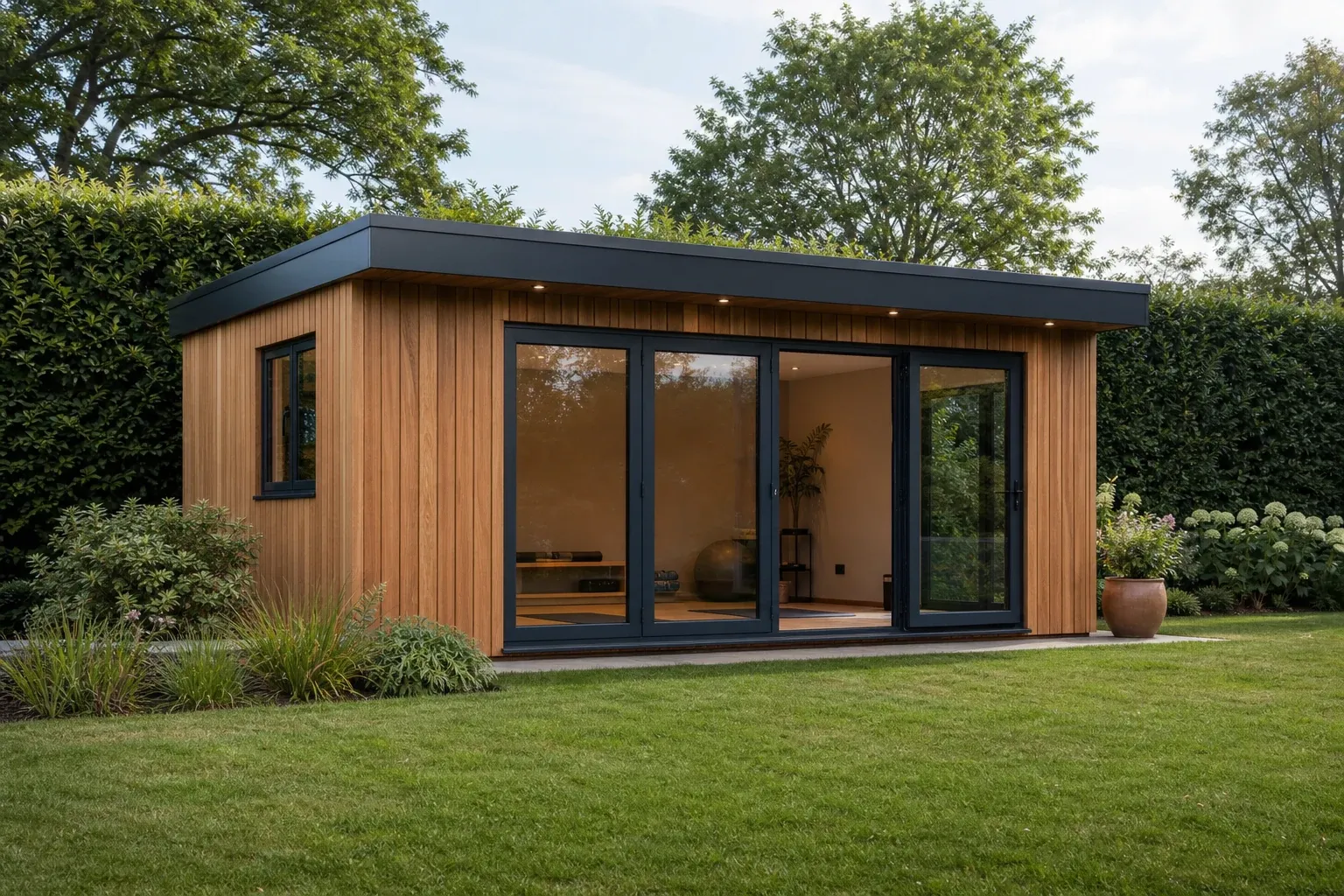
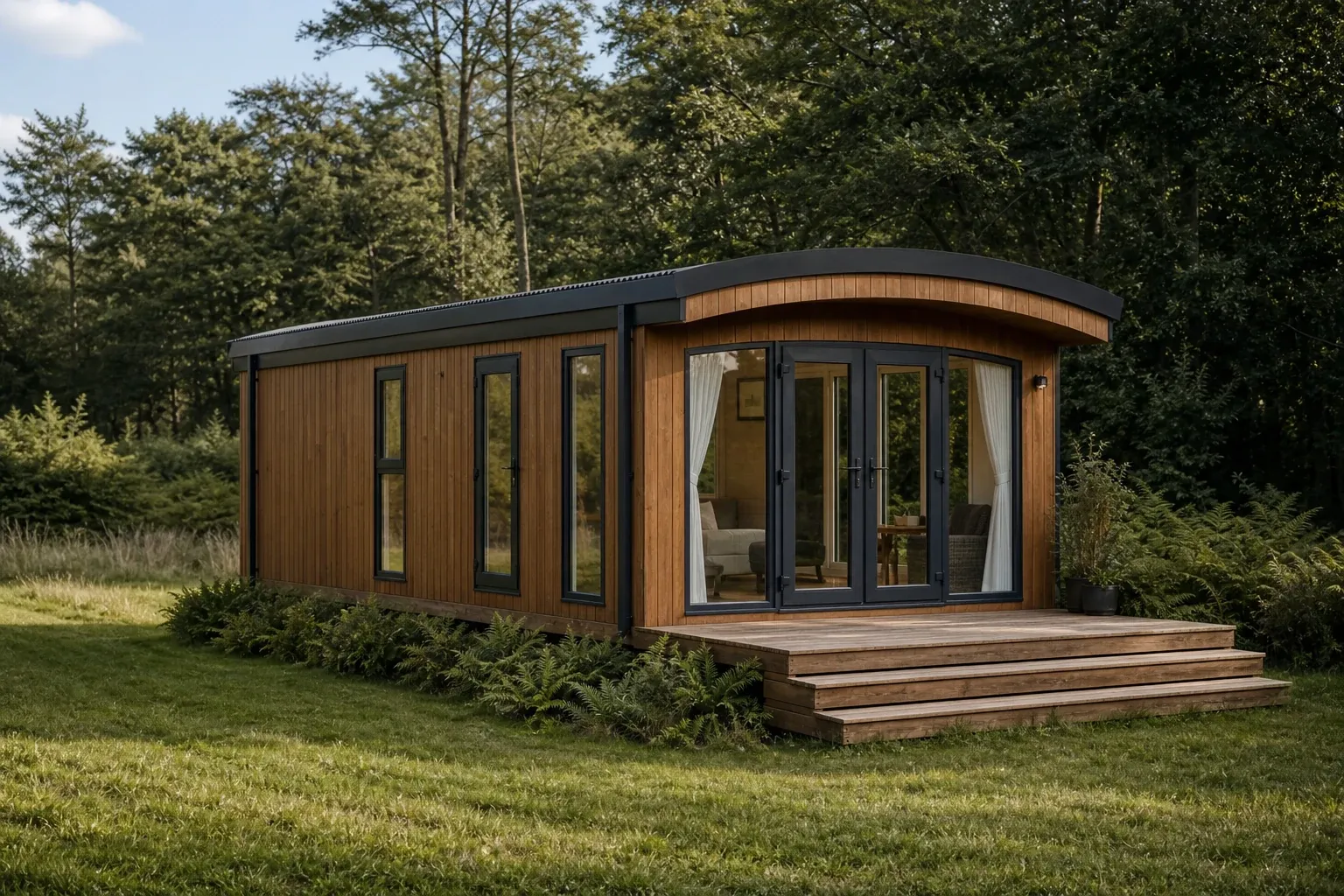
The BGS Ringwood district memoir maps contrasting Palaeogene sand-and-clay formations, gravelly plateaux, heath and wet valley ground east of the Avon. Burley gardens can therefore change from dry-looking topsoil to cohesive or seasonally wet layers.
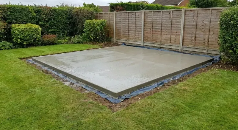
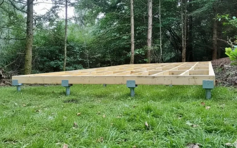
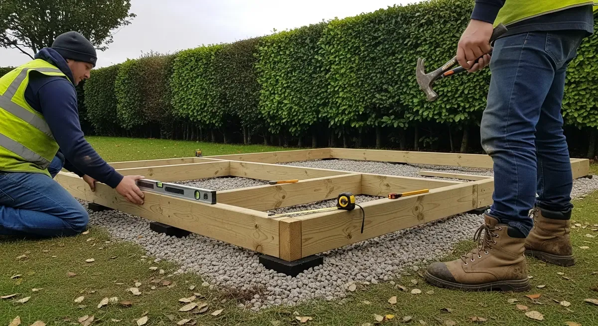
Tree roots, old garden banks, ditches and imported material make the individual plot more important than the broad map. We compare systems for the intended footprint and building.
Customers do not need to identify the formation or arrange a report before calling. Share ordinary observations and we will take it from there.