BGS mapping for the Bournemouth district records Poole Formation and Branksome Sand alongside extensive terraces and alluvial deposits connected with the Avon and Stour. Conditions near the rivers, harbour, plateau and coast should not be generalised.
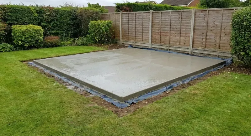
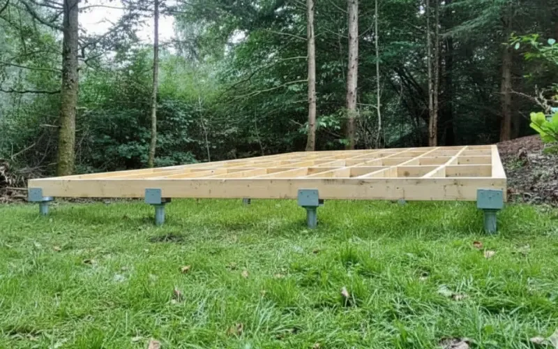
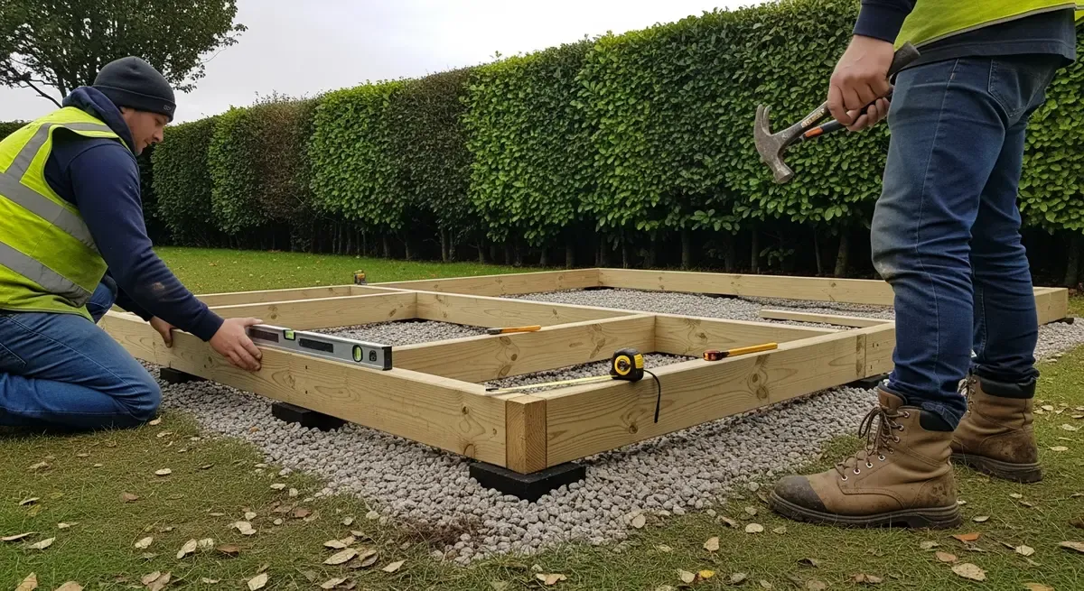
Previous landscaping, drainage, old slabs and imported material further change the near surface. The intended building and actual footprint guide the foundation; a BH23 label alone does not.
Customers can enquire without arranging technical reports. Share any known water history in ordinary language and we will explain whether it affects the options.